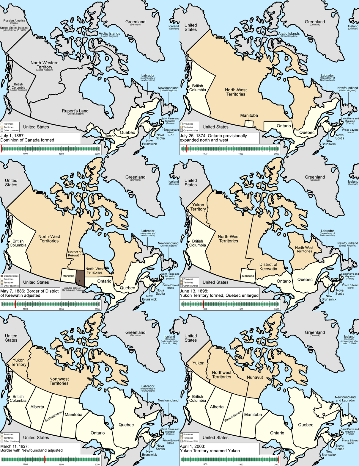
An Interactive Map of Canada
Canada is an incredibly vast country, stretching 4,600 km from north to south and spanning over half of the
Northern Hemisphere. From east to west, it covers an impressive 5,500 km, crossing six time zones! As the
second-largest country in the world (after Russia), Canada boasts a rugged, expansive landscape, yet it is home
to only 0.5% of the global population.
The country’s diverse geography includes majestic mountains, sweeping plains, lush forested valleys, and
stunning blue rivers and lakes. The Canadian Shield, a region of rocky hills, lakes, and swamps, extends across
northern Canada and contains some of the oldest rocks on Earth.
In the far north lies the Arctic, a frozen realm dominated by ice, snow, and glaciers. Despite the frigid and
harsh environment, Indigenous peoples known as First Nations have thrived here for generations, relying on
hunting and fishing to sustain their way of life.
Showcase data dynamically on an interactive map of Canada using JavaScript, with information
sourced from:
A
continuous line
drawing uses a single, unbroken line to
artistically represent iconic Canadian elements, minimalist
design for Canada Day celebrations.
Physical Map of the World: Free High Resolution Map of
the Physical World.
Canada (The North)
The Atlas of Canada
Relief Map of Canada
Canada Votes 2025 Results
